Piatra Craiului Mountains
Piatra Craiului Mountains
A limestone massif in the Romanian Carpathians rising to 2,238 m, national park since 1990, accessible from Zarnesti or Bran: ridgeline, endemic fauna and hiking trails.
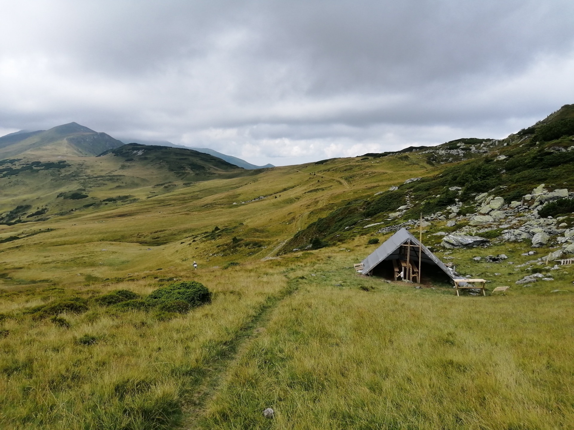
The Piatra Craiului massif ("The Prince's Stone" in Romanian) unfolds a long limestone ridge between the towns of Zarnesti and Bran, in the southern Carpathians. The summit La Om ("At the Man's Place") peaks at 2,238 m. Viewed from afar, the massif stands out for its almost white hue, a result of limestone outcrops and sparse vegetation at higher elevations. Declared a nature reserve as early as 1938, then a national park in 1990, it is one of Roumanie's most emblematic protected areas.
Why visit Piatra Craiului
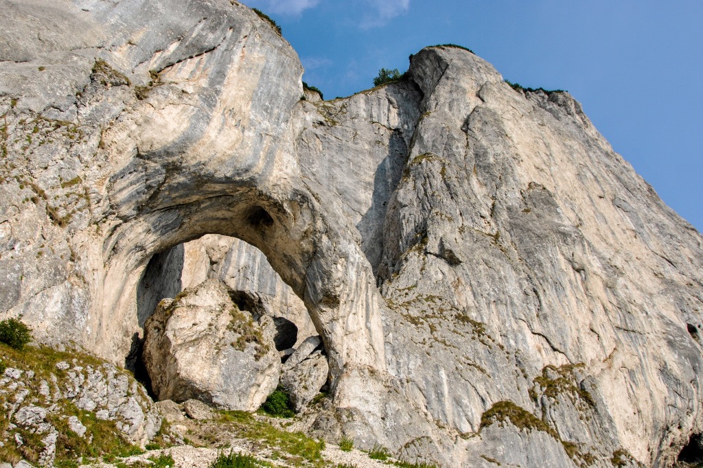
The massif presents a rare profile in the Carpathians: a narrow limestone ridge spanning approximately 25 km, oriented north-south, which contrasts with the more rounded reliefs of neighboring peaks. This geological singularity attracts hikers and climbers, as well as naturalists due to the park's endemic richness.
- A continuous limestone ridge, uncommon in the region
- Protected fauna and flora, including endemic species
- Easy accessibility from Brasov, Bran or Zarnesti
- A network of marked trails suited to various skill levels
What to see and do
The La Om summit and main ridge
The highest point La Om, at 2,238 m, is generally reached via an exposed ridge traverse. The summit ridge offers sweeping views of the Bucegi massif to the east and the Fagaras to the south. A complete traverse requires good fitness and sure-footedness.
Park fauna and flora
The western slope is home to two emblematic species: the Piatra Craiului Carnation (Dianthus callizonus), endemic to the massif, and Edelweiss. On the fauna side, the park hosts notably chamois and capercaillie (wood grouse). Brown bears, lynx and wolves are also present in the surrounding forests, though they are difficult to observe.
Hiking trails
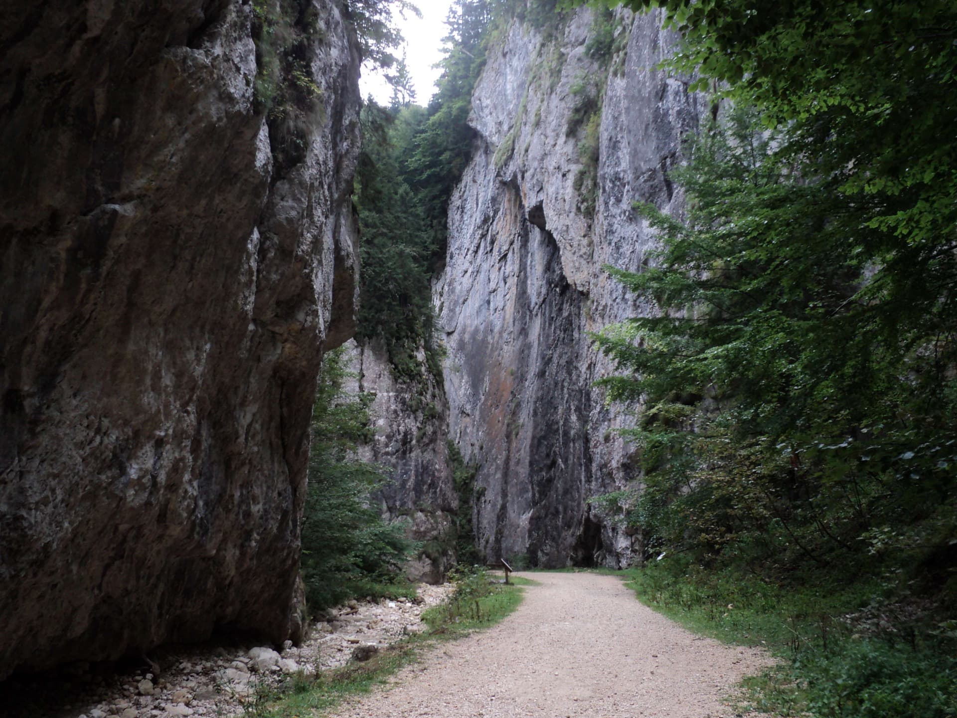
Several marked routes allow visitors to approach the massif according to their level: forest walks at the foot of the cliffs, climbs toward mountain shelters, or ridge traverses for experienced hikers. The Zarnesti Gorge, at the northern entrance to the park, offers an accessible half-day option.
When to go
The hiking season at higher elevations spans roughly June through September, when snow has melted and mountain trails are passable. July and August offer the most stable conditions, but also the heaviest crowds. September is prized for its colors and light. Outside this period, the ridge becomes a high-alpine winter terrain reserved for equipped and experienced hikers. Valley floors and the outskirts of Zarnesti remain accessible year-round.
Practical information
- Status: national park since 1990 (nature reserve since 1938)
- Maximum altitude: 2,238 m (La Om summit)
- Duration of visit: from a half-day for the Zarnesti Gorge to several days for a ridge traverse
- Mountain accommodation: several shelters (cabanas) distributed throughout the massif, to be reserved in high season
- Equipment: mountain boots, windproof clothing, ample water supply (springs are rare on the ridge)
- Regulations: camping and fires regulated, marked trails must be strictly observed
Check with the park information center in Zarnesti before undertaking any ambitious itinerary: mountain weather changes rapidly and some ridge sections are equipped with cables.
How to get there
The massif can be approached via two main gateways:
- From Zarnesti (north): town accessible by train or bus from Brasov (approximately 30 km). This is the most commonly used starting point, particularly for the gorges and Curmatura shelter.
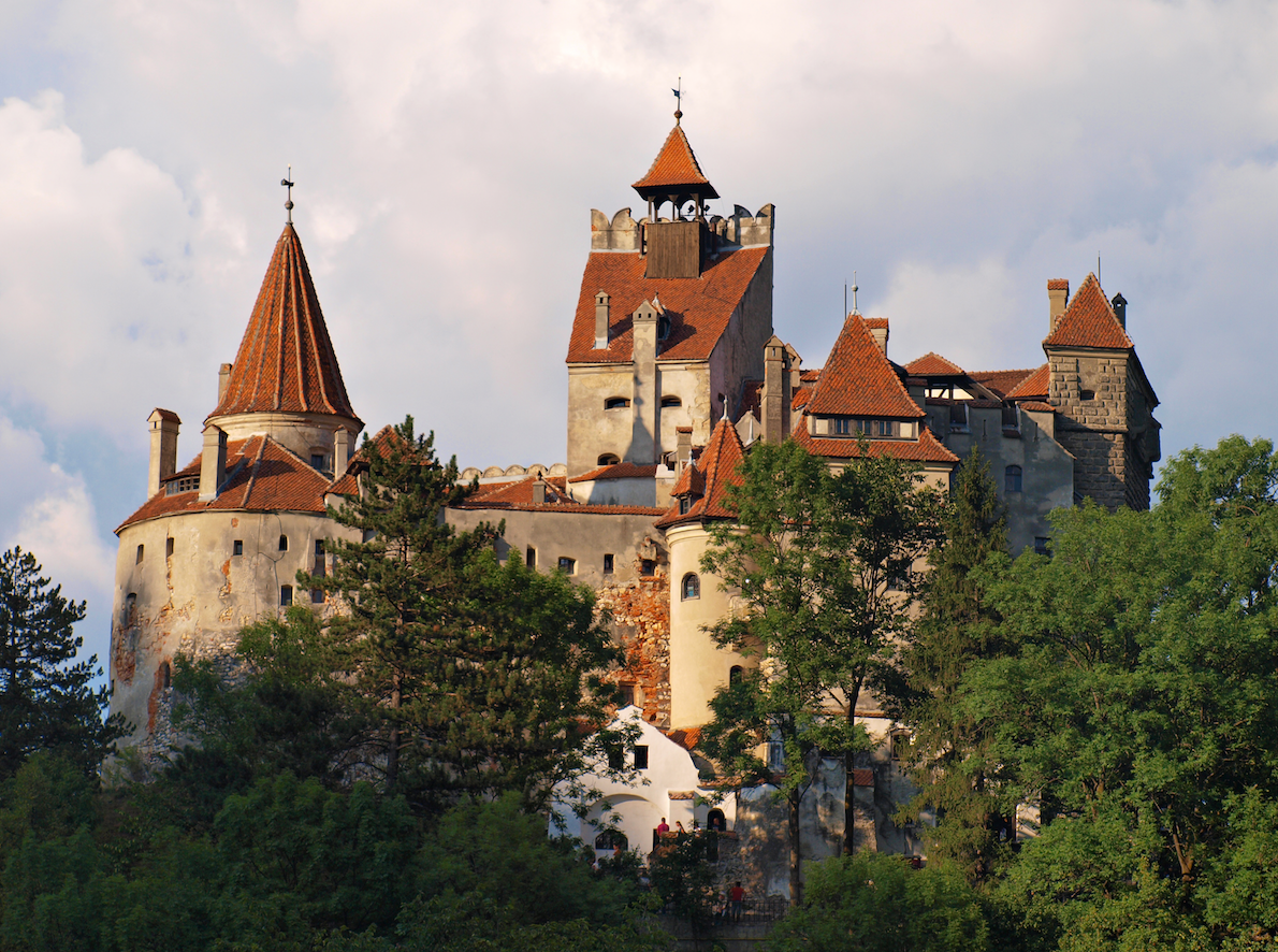
- From Bran (east): village famous for its castle, located about twenty kilometers south of Brasov. Several trails start from the Giuvala Pass.
- From Brasov: a practical logistical base for day trips, with daily rail and road connections to Zarnesti and Bran.
Combine with nearby attractions
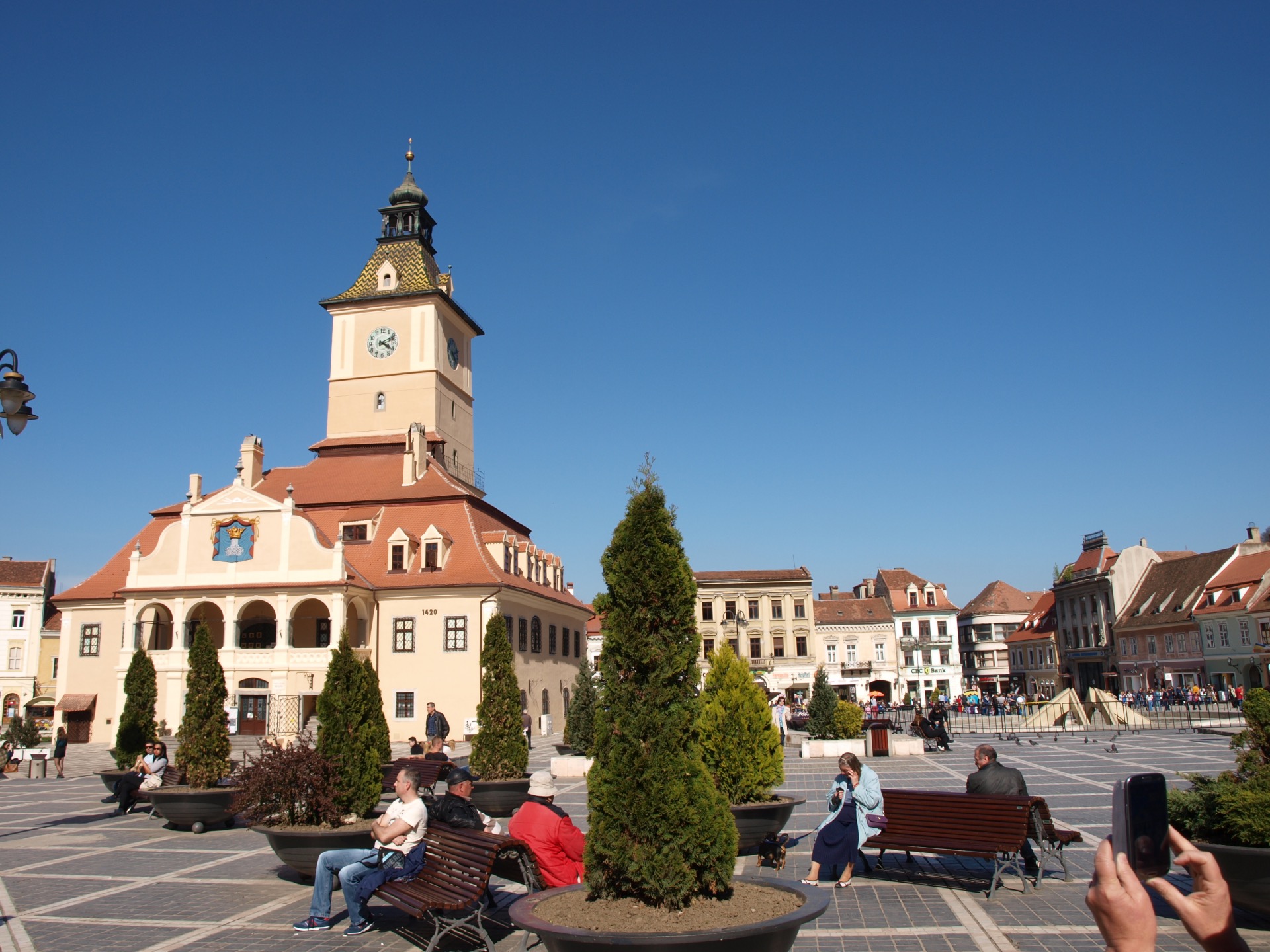
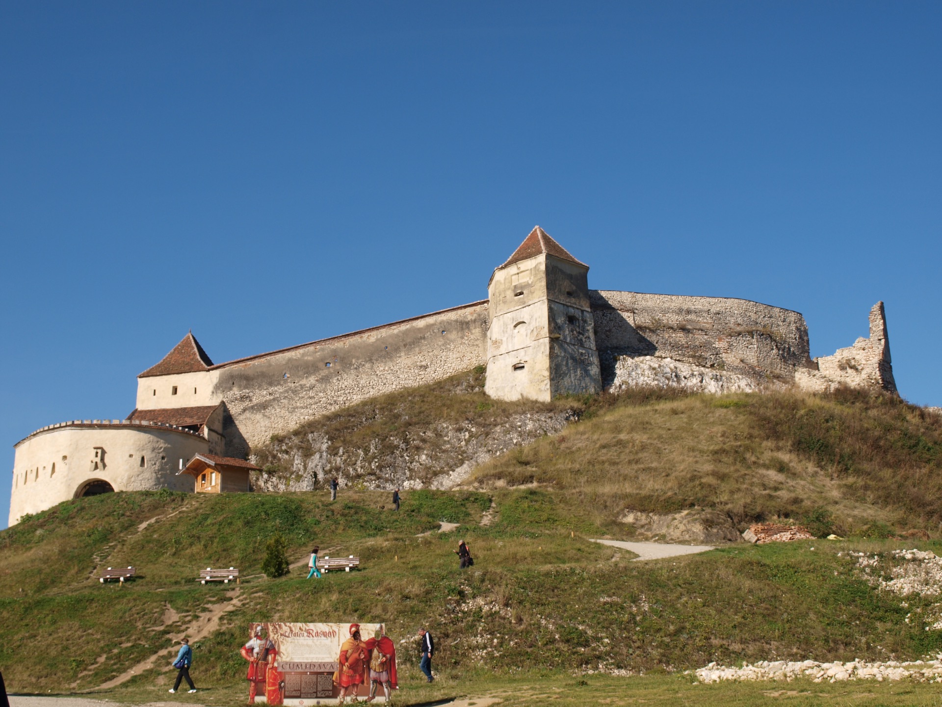
The massif integrates easily into a Transylvania circuit. Bran Castle, in immediate proximity, and the Rasnov peasant fortress complement a cultural stop. Brasov, a medieval town at the foot of Tampa, serves as a pleasant base camp for exploring the region.
To further discover Romanian heritage, you can head toward the ASTRA Ethnographic Museum in Sibiu, or venture further north into Maramures to visit the wooden churches of Ieud and the Museum of the Romanian Peasant Woman in Dragomirești. Lovers of singular landscapes will also appreciate the Creasta Cocosului geological reserve.
Frequently asked questions
Frequently asked questions
The La Om summit ("At the Man's Place") peaks at 2,238 m. It is the highest point of the massif, reached by the main ridge.
The two most common starting points are Zarnesti to the north and Bran to the east. Brasov serves as the main reference city for reaching either one.
From roughly June through September, when snow has melted from the ridges. July and August are the most stable months; September offers light and relative calm.
No. The ridge traverse includes exposed sections equipped with cables that require sure-footedness, good fitness and freedom from vertigo. For less experienced visitors, valley floor trails and the surroundings of shelters remain an excellent option.
The park is home to the Piatra Craiului Carnation, endemic to the area, and Edelweiss on the western slope. On the fauna side, you'll find chamois, capercaillie (wood grouse), as well as large carnivores (bear, lynx, wolf) that are more elusive.
Include Piatra Craiului in your journey
The massif integrates naturally into a Transylvania itinerary, between Brasov, Bran and Saxon villages. To build a custom route combining hiking, heritage and traditional villages, consult our Roumanie travel suggestions.
Nearby
Interested in this visit?
We can include it in your personalised itinerary.