Cindrel Mountains
Cindrel Mountains
A massif in the southern Carpathians south of Sibiu, the Cindrel Mountains combine high-altitude pastures, glacial lakes and pastoral villages of Mărginimea Sibiului.
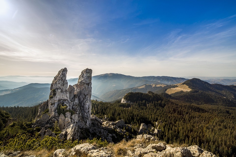
The Cindrel Mountains form a massif in the southern Carpathians, located in Sibiu County, in central Romania. Covered with high-altitude pastures, coniferous forests and dotted with small glacial lakes, they constitute one of the historic pastoral regions of the Romanian Carpathians, with a dense network of marked trails, some tourist markers dating back over a century. The massif peaks at Cindrel summit (2,245 m) and offers accessible hiking terrain, still largely preserved from mass tourism.
Why visit the Cindrel Mountains
The massif presents several characteristics that distinguish it from other Romanian mountain ranges. First and foremost, it is a living pastoral territory: inhabitants of neighbouring villages maintain hundreds of seasonal properties, pastures and forests spread up to 1,750–1,800 m altitude. This transhumance is still practised according to age-old cycles, and shepherds' huts ("stâne") remain visible along trails in summer.
The Cindrel Mountains also offer moderate high-altitude hiking with no great technical difficulty, suitable for hikers accustomed to moderate elevation gains. Landscapes alternate between grassy ridges, glacial lakes (Iezerul Mare, Iezerul Mic) and beech forests. Cindrel Nature Park, created to protect part of the massif, is home to wildlife typical of the Carpathians: brown bears, chamois, capercaillie.
What to see and do
Summits and glacial lakes
Cindrel peak (2,245 m) is the highest point and offers, in clear weather, a panoramic view over the neighbouring Lotru and Făgăraș massifs. At its base lie two lakes of glacial origin: Iezerul Mare and Iezerul Mic, accessible by a marked trail from Păltiniș station.
Păltiniș station
Romania's oldest mountain resort (founded in 1894), Păltiniș serves as the main gateway to the massif. Located at approximately 1,450 m altitude, it offers accommodation, restaurants and a small winter ski area. It is also the starting point for several marked hiking routes.
Pastoral villages of Mărginimea Sibiului
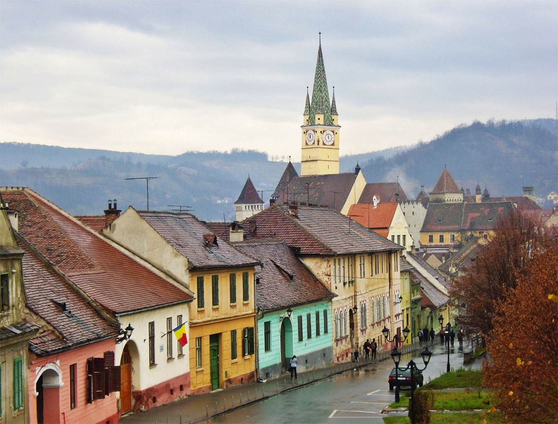
At the northern foot of the massif lies the ethnographic region of Mărginimea Sibiului, which brings together Saxon and Romanian villages devoted to transhumant shepherding: Rășinari, Sibiel, Gura Râului, Jina. Traditional rural architecture, glass icon museums and artisanal cheese-making facilities are accessible there.
Trails and bivouacs
- Păltiniș – Cindrel peak – Iezerul Mare route (classic loop, full day)
- Cindrel – Frumoasa ridge, several days of independent hiking
- Thematic pastoral trails from Jina or Rod
When to visit
The most favourable period for hiking runs from late June to mid-October, when high-altitude trails are clear and shepherds' huts active. July and August offer the most stable conditions, but also the typical Carpathian afternoon storms; an early morning start is recommended.
For skiing and snow-covered landscapes, the winter season runs from December to March, mainly around Păltiniș. Spring remains damp and high ridges may retain snow until May. Autumn, though brief, is luminous and showcases the beech forests on the northern slope.
How to get there
Access is from Sibiu, a major stopover city in Transylvania, located approximately 30 km north of the massif. Sibiu has an international airport with regular connections to several European capitals.
- By car: from Sibiu, road DJ106A to Păltiniș (approximately 45 minutes). Connections also available from Rășinari or Gura Râului for hikers.
- By public transport: local buses between Sibiu and Păltiniș, frequency varies by season.
- On foot: entry possible via Mărginimea Sibiului for independent hikers.
Practical information
- Accommodation: guesthouses and hotels in Păltiniș, rural cottages in Mărginimea villages, basic refuges at altitude
- Equipment: sturdy hiking boots, windproof clothing, water (few reliable sources on the ridges)
- Topographic map recommended (1/50,000 scale); painted marks on trees and rocks supplement GPS trails
- Cohabitation with livestock: avoid shepherds' huts, do not approach shepherd dogs
- Presence of brown bears: follow local guidelines, avoid solo night walks
To combine in the region
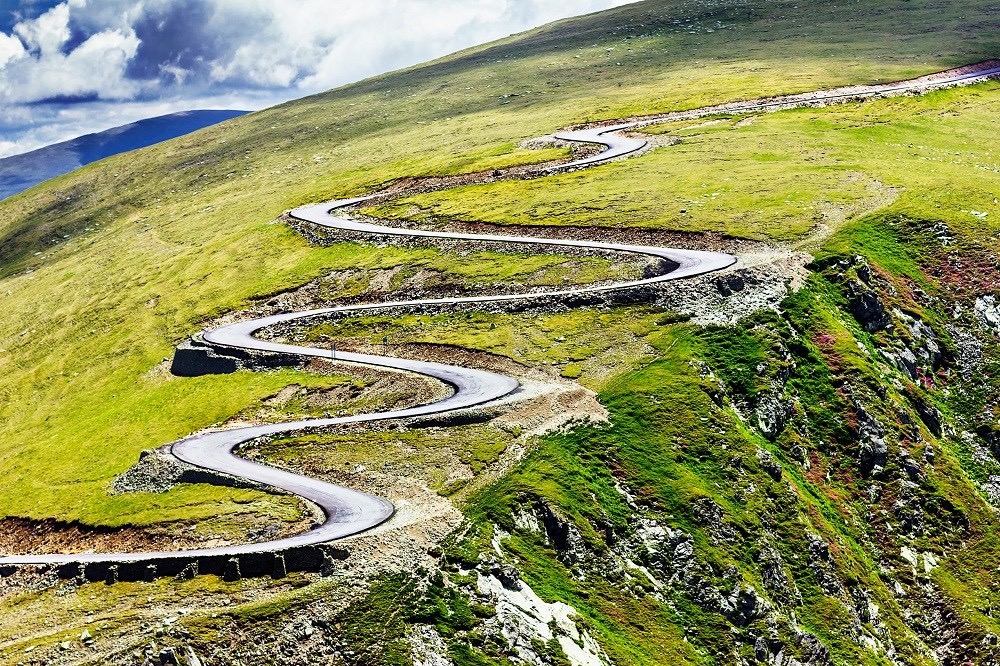
The Cindrel Mountains fit easily into a broader Transylvanian circuit. To the southwest, the Transfăgărășan road crosses the neighbouring Făgăraș massif and is one of Romania's great road itineraries. Further north, Corvin Castle in Hunedoara complements a stage devoted to medieval heritage. To continue exploring Transylvania's underground wealth, Turda Salt Mine offers a visit to a former salt mine converted for tourism. Lovers of Orthodox religious heritage can reach the Bârsana monastery in Maramureș.
FAQ
Frequently asked questions
Routes are mostly intermediate level, with no technical passages. Daily elevation gains range between 600 and 1,000 metres for classic outings from Păltiniș. Good physical fitness and appropriate equipment remain necessary.
Yes, mainly around Păltiniș station which offers alpine skiing and snowshoeing. Winter hiking in high mountains requires experience in snowy conditions and suitable equipment (crampons, ice axe depending on conditions).
One day is sufficient for a loop from Păltiniș to the glacial lakes. Allow two to three days to combine high-altitude hiking and Mărginimea Sibiului villages. Ridge traverses to the neighbouring Lotru massif require three to four days of independent hiking.
Marking is generally reliable on main routes, but a local guide brings real added value for understanding pastoralism, spotting wildlife and adapting the route to weather conditions. Recommended for first-time outings in the Carpathians.
Prepare your trip
The Cindrel Mountains fit into a broader itinerary around Sibiu and central Transylvania. To build your bespoke journey, consult our Romania travel suggestions.
Interested in this visit?
We can include it in your personalised itinerary.